Optimizing Shipping Channel Capacity
By Simon B. Mortensen, Jesper Goodley Dannisoee and Henrik Kofoed-Hansen *
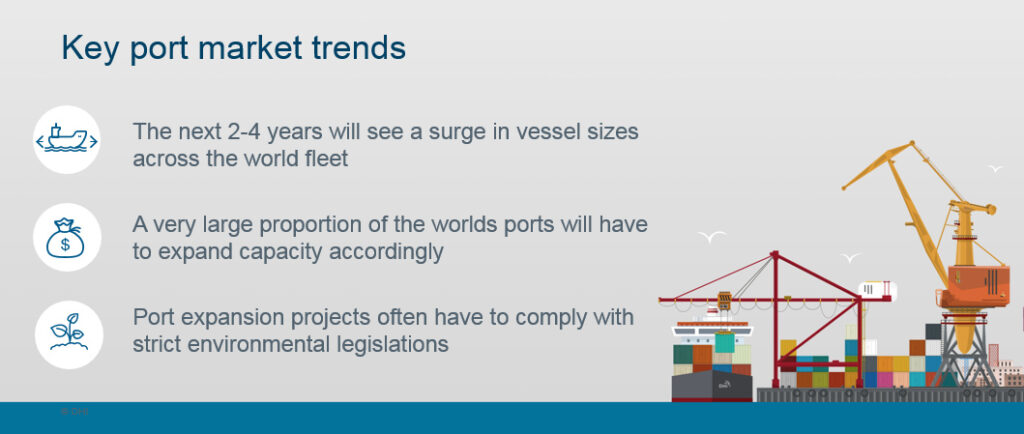
2017, June 1: The continuing surge in commercial vessel sizes is putting pressure on port authorities to ensure that their ports have the capacity to meet growing demands. Ports must ensure that they can offer safe access to the facility.
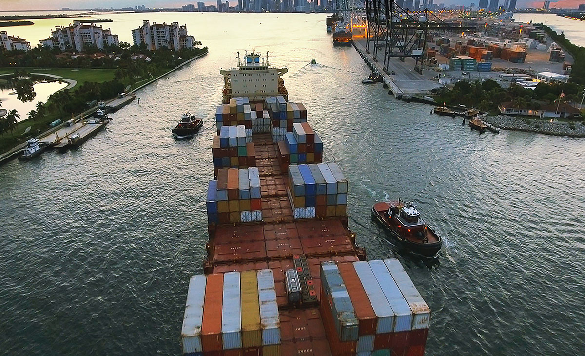
Shipping lines need to know that it is safe to access the ports. For small ports, those with one or two ships per week, this may not be a big concern. However, ports with several ships per day, including cruise ships, find it important to safeguard access and protect vessels using their facility.
 Traditionally, channel capacity expansion projects are usually associated with large investments; damage to the environment; and, perhaps, perpetual maintenance of the channels because of sand incursion. Less intrusion on the environment reduces the probability of damage. And this is particularly important to a marine environment which is already under severe stress from climate change and rising sea temperature, among other issues. Given this situation, it has become necessary to adopt a new approach.
An integrated approach for optimizing shipping channel capacity and port operability is now possible; is available; and, indeed, advisable.
This new approach combines the information about the bathymetry of the access channel and approach areas, integrating information about wind, waves, water level and currents and knowledge about each ship, its physical outlines and its navigation capacity. All this information is combined in computer models, which provide prognoses and guidance to both ship and the port management. A port manager will know all about current depths in the access channels and the ship captain will get information about “under keel clearance”.
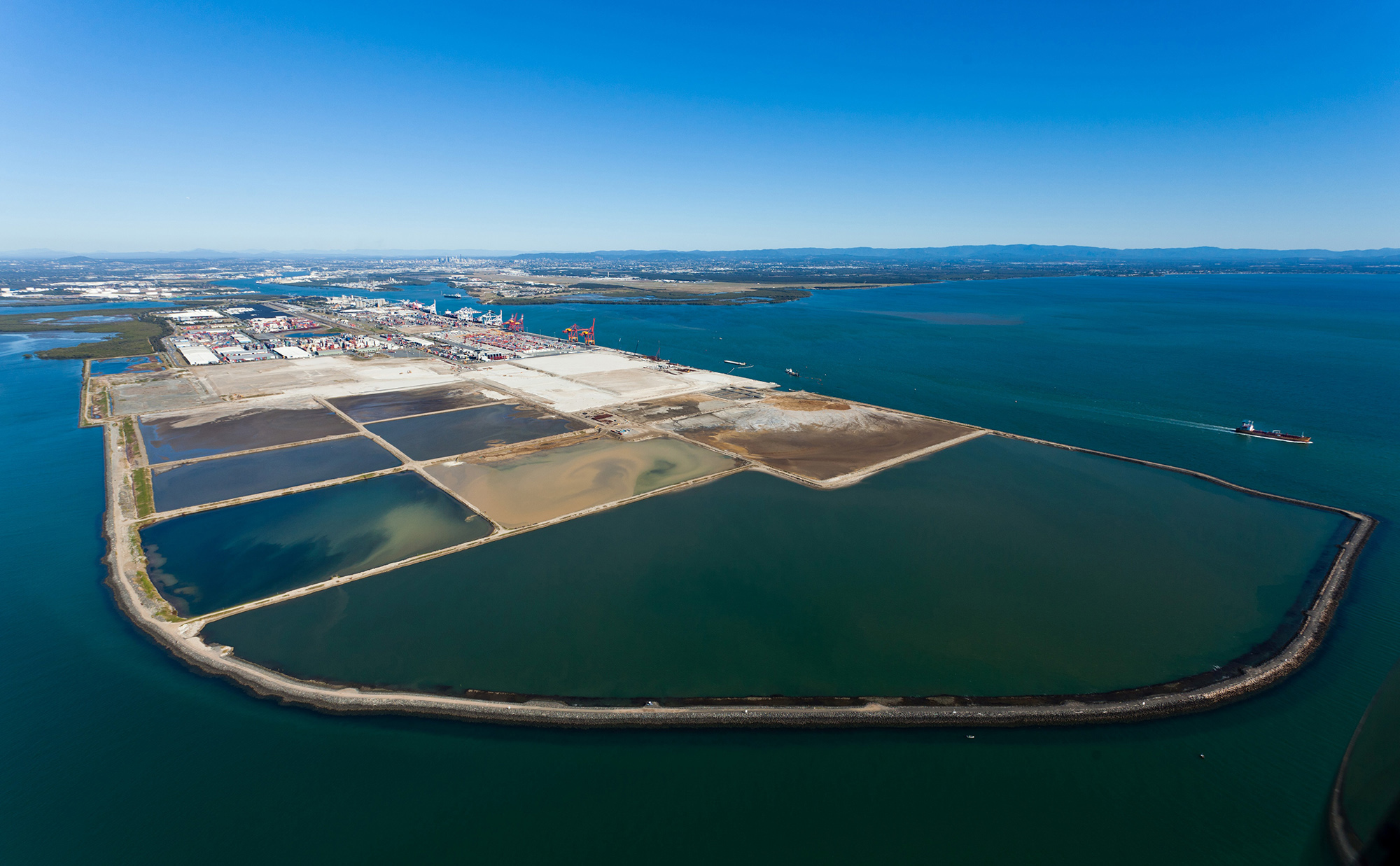
This method enables port authorities to operate their ports and access channels in the most optimal way and, potentially, reduces and minimizes the costs for traditional access channel maintenance and deepening. Several port authorities have already taken advantage of this new approach, including the Port of Brisbane, Australia, and have been able to accommodate more ships with less waiting time for approaching ships.

Nonlinear Channel Optimisation Simulator (NCOS) – a new approach
DHI and a partner have collaborated to develop this new technology for quantifying and optimizing ship channel operability. For the port manager it gives access to day-to-day information about the navigational conditions in the access channel and the information can be provided to all approaching vessels, which can then utilise the information to calculate the under-keel-clearance (UKC).
The Nonlinear Channel Optimisation Simulator (NCOS) has two core applications:
(1) Integrated full 3D channel capacity optimisation assessments, which incorporate vessel response dynamics and long-term dynamic time series of vessel traffic and accurate environmental conditions (wind, waves, tide, currents); and,
(2) Operational forecasting (online) and scheduling of safe UKC windows for depth constrained vessels, incorporating 5-day to 10-day forecasts of all governing environmental conditions.
With the knowledge gained from NCOS, ports and waterway operators can now operate their port facilities and capacity in a much smarter way than relying on traditional methods, This is likely to lead to significant reduction of dredging costs, as compared to the use of conventional methods.
For strategic planning and design purposes, NCOS provides a clear identification of all constricted parts of the approach channel with respect to grounding risk; and, estimates the associated dredge volumes required to meet operational criteria. It also utilises High-Performance Computing (HPC) to maximise the accuracy of vessel UKC response. The advantage is that it can incorporate long-term variations in environmental conditions along the shipping channel, like the spatial and temporal changes in waves and the currents.
Reduced environmental impact
The environmental impacts of establishing new (or deepening) existing access channels can be substantial. In the Caribbean Sea, the impacts may hit some of the most precious and vulnerable biological societies on Earth. The typical damage caused by dredging is the direct loss of habitats. But the damages can easily spread due to, for example, sediment spills (in which fine sediments are spread by the currents and settle on the seabed). This impacts seagrass beds, coral reefs and other important habitats.
Some dredging operations may also require the use of explosives to remove bedrock. The shockwaves from blasting can spread wide and can do serious damage fish and shellfish cultures. The noise from blasting can also cause wides-scale injury to marine mammals. Many of the marine features mentioned above are the very ones that attract tourists to the Caribbean and sustain national economies.
If the dredged material cannot be utilized for land reclamation or other land based activities, the strategy has often been to dump the material offshore in deeper waters. However, even in deeper waters, the biology can be very important to protect. And covering important seabed habitats with sediments is not exactly environmentally friendly.
Changing from the traditional approach in access channel management towards modern IT-based systems may increase port capacity, lower costs for dredging and reduce the typical environmental impacts, increasing the green image of the port.
Case story
 The Port of Brisbane is one of Australia’s fastest growing container ports and is Queensland’s premier multi-cargo port, handling almost AUD 50 billion in trade annually. Among a large suite of commitments, the Port of Brisbane Pty Ltd (PBPL) is responsible for the maintenance and development of the port facilities, as well as for ensuring navigable access for commercial shipping.
As vessel sizes increased and demand for Australian ports to accommodate these larger vessels grew, the port considered options to deepen its navigational channel. Initial estimates of capital dredging costs were very high. PBPL therefore required a comprehensive channel capacity assessment so as to avoid being too conservative in making decisions about deepening the channel. In other words, PBPL needed to find the safest, most accurate and flexible solutions to guide their capacity expansion plans.
In order to accommodate stringent demands for a more accurate and cost-effective channel optimisation solution, it was essential to develop an integrated hydro-dynamic model of the entire port and navigational channel, covering both aspects of channel capacity and general vessel operability within the port.
The new integrated model enabled PBPL to study several different variables related to the port’s ongoing capacity planning and management. It provided a clear identification of grounding risks in all constricted parts of the approach channel and estimated the dredge volumes required to meet target operability and other criteria.
With PBPL now having a thorough understanding of the capacity and operational capability of the channel and associated berths, they were able to make accurate, cost-efficient decisions and safely handle the larger vessels of the future. And the savings of reduced dredging costs easily paid-off using the advanced and modern NCOS modelling system.
The NCOS approach will be presented in detail during the workshop PMAC –Portside Port Managers Workshop, planned for Panama in January 2018. []
* Simon B. Mortensen, Jesper Goodley Dannisoee and Henrik Kofoed-Hansen, DHI are associates of the Port Management Association of the Caribbean.


